


Beyond dots on a map
Azavea creates software and data analytics for the web. We are a mission-driven company, using our twenty years of geospatial expertise to help our clients address complex civic, social, and environmental problems.
What sets us apart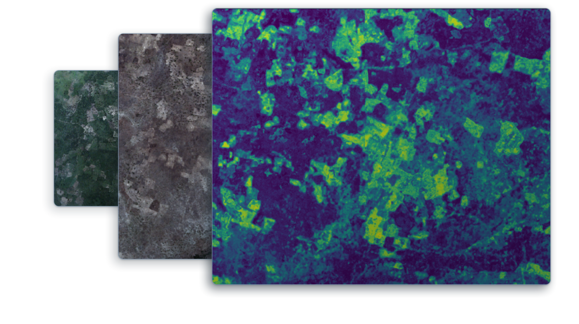
Featured project
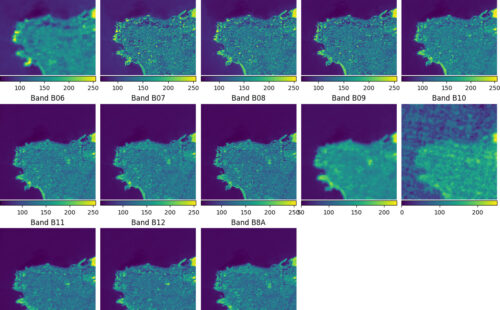
Combining high-resolution imagery and machine learning to map agricultural patterns across Africa
Find out howSelected clients
Organizations around the world increase their impact with Azavea software


From our blog
We write about a wide range of topics. Learn about things like geospatial analysis, machine learning, software engineering and more.